
Clovis ZIP Codes and Their Work
Four ZIP functions appear in the Clovis research. Their exact delivery boundary can change by Clovis address, and one is a PO-box service rather than a normal neighborhood polygon. The table is a starting Clovis postal map. A person search should not treat a ZIP as an incorporated-city test, and a property search should not treat a postal label as an APN.
| ZIP | Areas or character | Post office | Notes |
|---|---|---|---|
| 93612 | Older and west-central Clovis with a Fresno-edge delivery area | Clovis postal facilities; verify by address | Postal geography can cross the city line |
| 93611 | Established east and southeast Clovis delivery | Exact station not verified | Part of its former territory became 93619 |
| 93619 | Newer eastern and northeastern Clovis growth plus rural fringe | Clovis Main Office delivery designation in the creation notice | Created from part of 93611 effective July 1, 2004 |
| 93613 | PO boxes | Clovis PO-box service | Not a normal residential neighborhood polygon |
The Clovis ZIP code directory starts here, but USPS remains the source for a specific Clovis delivery result.
Verify a Clovis ZIP by Full Address
The safest Clovis ZIP lookup uses a full street address. Open the USPS ZIP Code Lookup, enter the Clovis address, and save the returned city and ZIP as a postal fact. A city-and-ZIP list is not enough to settle whether the parcel lies inside incorporated Clovis. Once USPS gives the delivery result, compare the location with the Clovis city-limit layer in WebGIS.
The process is short:
- Enter the complete Clovis street number, street name, suffix, and unit if known.
- Record the USPS city and ZIP exactly as returned for the Clovis address.
- Open Clovis WebGIS and compare the parcel polygon with the Clovis city-limit layer.
- Use the APN as the stable bridge to the Assessor, Recorder, or permit custodian.
- Keep the lookup date because postal and municipal boundaries can change.
The current interface provides the best answer for a Clovis address. A postal directory list is an orientation tool, not a substitute for that check.
| USPS lookup field | Clovis research use |
|---|---|
| Full street address | Enter the Clovis number, street, suffix, and unit when known. |
| Returned city and ZIP | Save the exact USPS delivery result for the Clovis address. |
| Lookup date | Keep the date beside the Clovis postal result because delivery data can change. |
| Parcel comparison | Use Clovis WebGIS and the APN to test the municipal boundary separately. |
The official USPS postal lookup path shows the Clovis address result used for this capture.
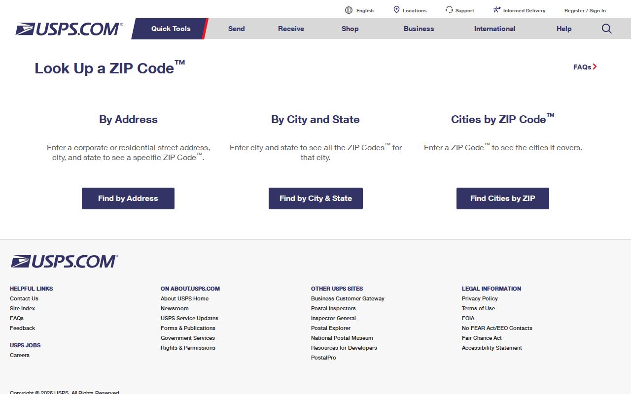
The ZIP code directory image belongs beside the full address and the date of the USPS result.
Clovis 93619 Split from 93611
USPS Postal Bulletin 22127 records a real ZIP change for Clovis. Effective July 1, 2004, 93619 was established for a delivery area formerly in 93611, using Clovis, California as the last line. That split can make a Clovis mailing code change even when a person or parcel remains in the same broad area. It is a useful historical clue when a directory, tax record, or letter shows two ZIPs across time.
Do not turn the 2004 notice into a claim that every eastern Clovis address moved from one code to the other. The notice establishes the origin and effective date of the ZIP function. USPS full-address lookup is still needed for a particular Clovis street. An APN and legal description are stronger bridges when the question is land rather than mail.
This is the main geography story in the Clovis ZIP code directory: a realignment can change the code printed on a record without changing the Clovis person, building, or parcel.
Read the USPS Postal Bulletin notice for the 93619 creation date.
Postal Clovis Is Larger Than City Clovis
Clovis's own 2015 survey method began with ZIPs serving Clovis, geocoded every address against quarterly updated municipal boundaries, and removed locations outside the incorporated line. That method is direct evidence that a Clovis mailing address can fall outside Clovis city limits. The same test belongs in a Clovis resident or property search: USPS for delivery, GIS for the city line, APN for land identity, then the right custodian.
The distinction is not just technical for Clovis. A city permit may be a Fresno County matter if the parcel is outside the municipal boundary. A neighborhood label can remain familiar after an annexation or a boundary shift. The postal guide can place a Clovis address in the right delivery group while still leaving the governing office unresolved.
Use Clovis WebGIS for parcel and limit context, and do not infer city status from the last line on an envelope.
Clovis ZIP 93613 Is Not a Neighborhood
93613 is identified in the research as a Clovis PO-box ZIP. A PO-box code points to Clovis postal service, not a continuous set of parcels or homes. It can be useful for mail routing, but it cannot define a Clovis block, city-limit shape, or list of residents. If a record carries 93613, keep the mailing function separate from the physical situs.
- ZIP code
- A USPS delivery construct used to sort mail. It can cross a municipal line.
- ZIP+4
- A more precise delivery extension; it is not a parcel identifier or household roll.
- PO-box ZIP
- A postal service area for boxes, not proof of a normal residential polygon.
- Carrier route
- A delivery route concept that helps postal work but does not identify every person served.
A physical address should be verified separately before a postal result is attached to a person.
Clovis ZIP Geography Meets GIS
A Clovis GIS layer can help visualize parcels, streets, districts, zoning, and city limits. The viewer's current controls include address or place search, APN search, layer checkboxes, identify, zoom, pan, measure, print, and legend tools. If ZIP layers appear, they can support a Clovis map overlay. They do not return occupants. County online GIS intentionally omits ownership, so an APN must be joined through the Assessor's lawful route.
Recent civic geography adds another Clovis layer. Clovis adopted five council districts in 2025 after a California Voting Rights Act demand, with first district elections scheduled for November 2026 for districts 1, 4, and 5 and for 2 and 3 in 2028. An address-to-district map can answer representation questions, but it is not a resident list. Use the official Clovis city map or data when checking a particular address.
Map labels describe place. They do not turn a postal list into an owner or occupant search.
Clovis ZIP-Wide Owner Search Has a Gap
Fresno's public assessed-value address and APN join was restricted in 2025, and no reliable public Clovis ZIP-wide owner search was verified. The Assessor is parcel centered, not a general owner-name directory. A ZIP filter in a Clovis map may show geography without returning an owner. An approved voter product can use geographic filters only for a permitted purpose, with application, identification, and use restrictions.
For a Clovis ZIP-level research question, first verify a set of full addresses through USPS. Then use GIS to identify APNs. For ownership, consult the Assessor office or purchased roll. For transfers, use the Recorder. For a historic list, use Haines or another library directory. For a current person, use the narrow resident lookup path rather than pretending a ZIP is a public roll.
The county assessed-value application can still be checked for the live access path, but older directions should not be copied as if the 2025 restriction did not happen.
Clovis ZIP, APN, Situs, and Mailing Compared
The Clovis ZIP code directory becomes useful when each geography label is written down beside its source. USPS supplies the delivery code. GIS supplies the Clovis parcel and city-line relationship. The Assessor supplies lien-date property data through its access route. The Recorder supplies a legal description and party trail. A Clovis city permit or CPRA request supplies local project evidence.
APN 007-030-08T shows why a Clovis assessor key is more stable than a postal label. The first three digits identify map book 007 and the next two identify page 03, followed by the parcel identifier. APNs can change after a division, combination, survey, or map-book renumbering, so retain the legal description and recorded map when a long Clovis trail matters.
Do not use ZIP+4, a PO box, or a mailing address as a substitute for that land bridge.
ZIP Code Boundaries vs Clovis City Limits
The Clovis boundary answer is a two-source check. USPS decides how a Clovis address is delivered. Clovis WebGIS shows the current municipal line and parcel context. Annexation can shift city services and custodians while the postal designation persists. The sphere-of-influence process follows LAFCO and Cortese-Knox-Hertzberg procedures. For Clovis annexation, fewer than 12 registered voters is called “uninhabited” and 12 or more “inhabited” for the procedure. That word has a legal process meaning, not a claim that no one lives there. A postal directory result remains only the postal half of the check.
When a Clovis address falls near a line, keep the city, county, ZIP, APN, and custodian in separate fields. A failed city permit search may mean the parcel is under county jurisdiction rather than that no permit exists. The same logic applies to a Clovis postal result that looks local but lies outside incorporated Clovis.
For a person-specific question after the ZIP is narrowed, use the Clovis street directory for the address chain or the resident lookup for one name. The postal guide should hand the search to those more precise sources.